Before entering Yosemite, we had to drive through the Mono Lake Basin. The turn-out viewpoint provided a good look of the Lake and the surrounding valley. Timber met a French Brittany, her French cousin and the originators of the Brittany breed, however, she's an American Brittany. Also of note, the guard-rail was covered in bumper stickers from all over the world.
Looking down into the Mono Lake Basin
 |
| I particularly liked this bumper sticker as a bookworm myself! |
Mono Lake is amazing because it has several streams that feed into it, however there is no outlet. Still, about 45 vertical inches of water is lost due to evaporation every year. Although none of my pictures show the shore, little rock outcroppings called tufas (which comes from the latin 'tofus' meaning porous stone) exist along side it. A tufa is calcium carbonate formed by the mixing of waters of different compositions.
Heading up the mountain pass toward Yosemite.


Human activity in the Yosemite Valley has been recorded for tens of thousands of years. The Ahwahneechee lived here, and following European settlement in the 1800s, more people came to the valley, but travel was hard by horseback or by stagecoach, so there were few visitors to the valley. By 1907, when the Yosemite Valley Railroad was completed, the passage between Merced and El Portal eased travel and visitation increased.
This year marks the 150th year of the Yosemite Grant, which was signed by President Lincoln in 1864 amidst the Civil War, protecting the Yosemite Valley and the Mariposa Grove of the Giant Sequoias. The Yosemite Grant out land under the care of the state of California, hence starting the California State Park system. In 1890, the conservationist John Muir sat in talks to convince President Theodore Roosevelt to create the National Park System.
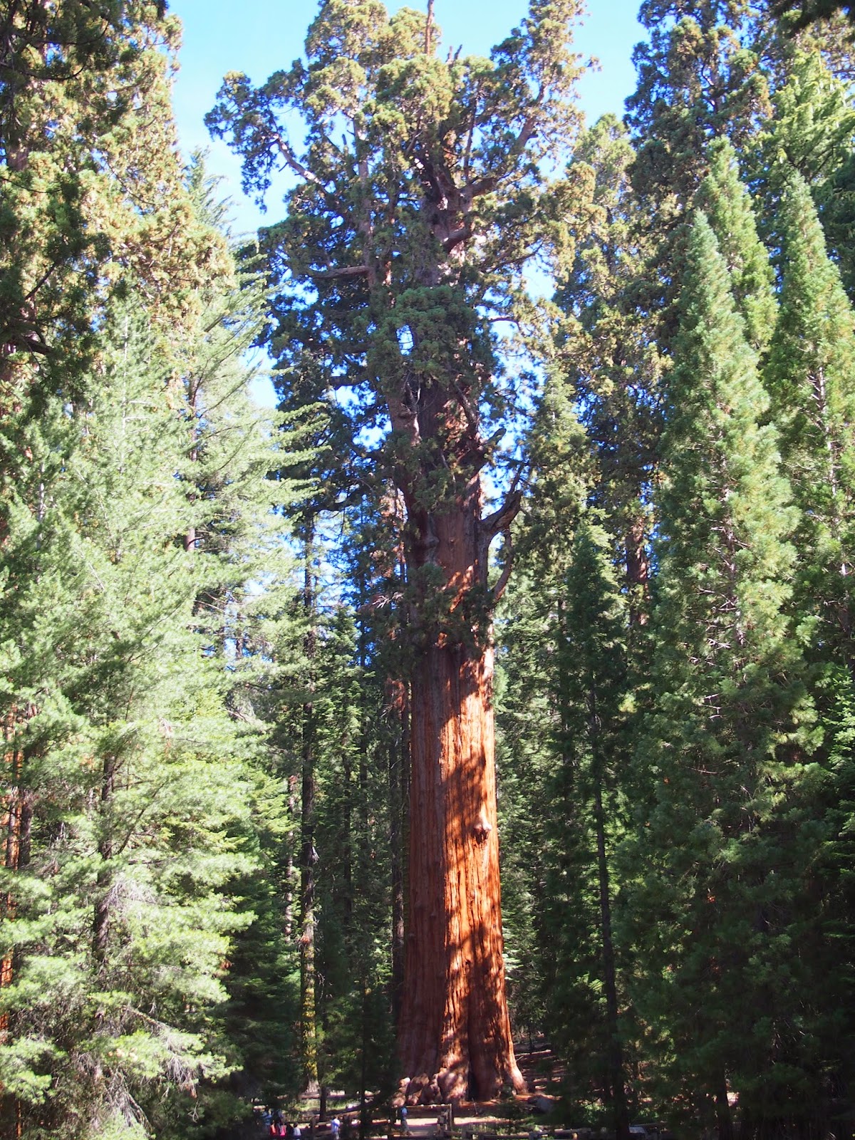
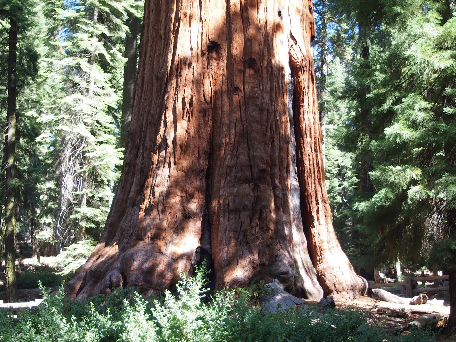
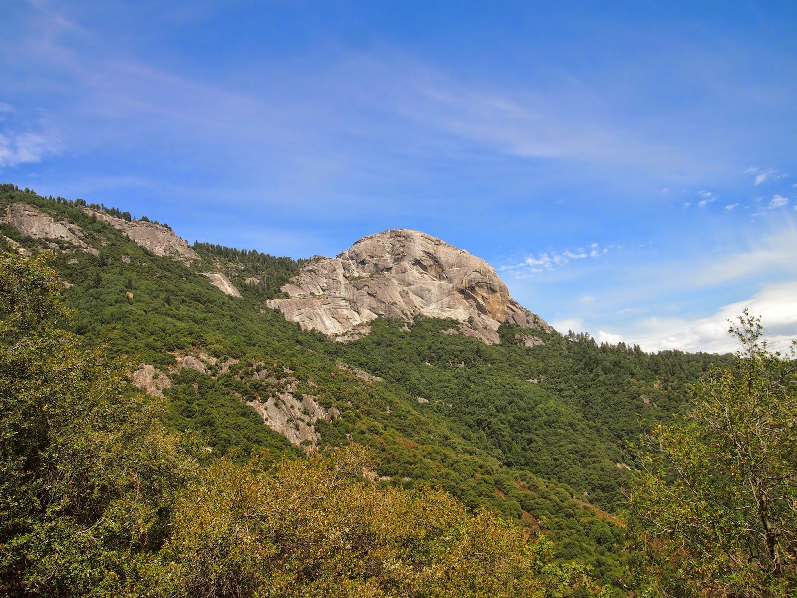
The Yosemite Valley was shaped by glaciation, and was carved out by the two rivers, the Tuolumne and the Merced, which both begin in the Park. Yosemite is best known for its granite, cliffs, waterfalls, clear streams, and giant Sequoias. The park is home to diverse populations of plants and animals.
Olmstead Point
 |
| View of the Lake Above from Olmstead Point |
 |
| Behind us you can see Half Dome. Half Dome is one of the more unusual specimens in the park as it looks like half a dome. You might ask what happened to the other half, but simply, there has never been another half. |
 |
Recreation of the birthday binoculars picture
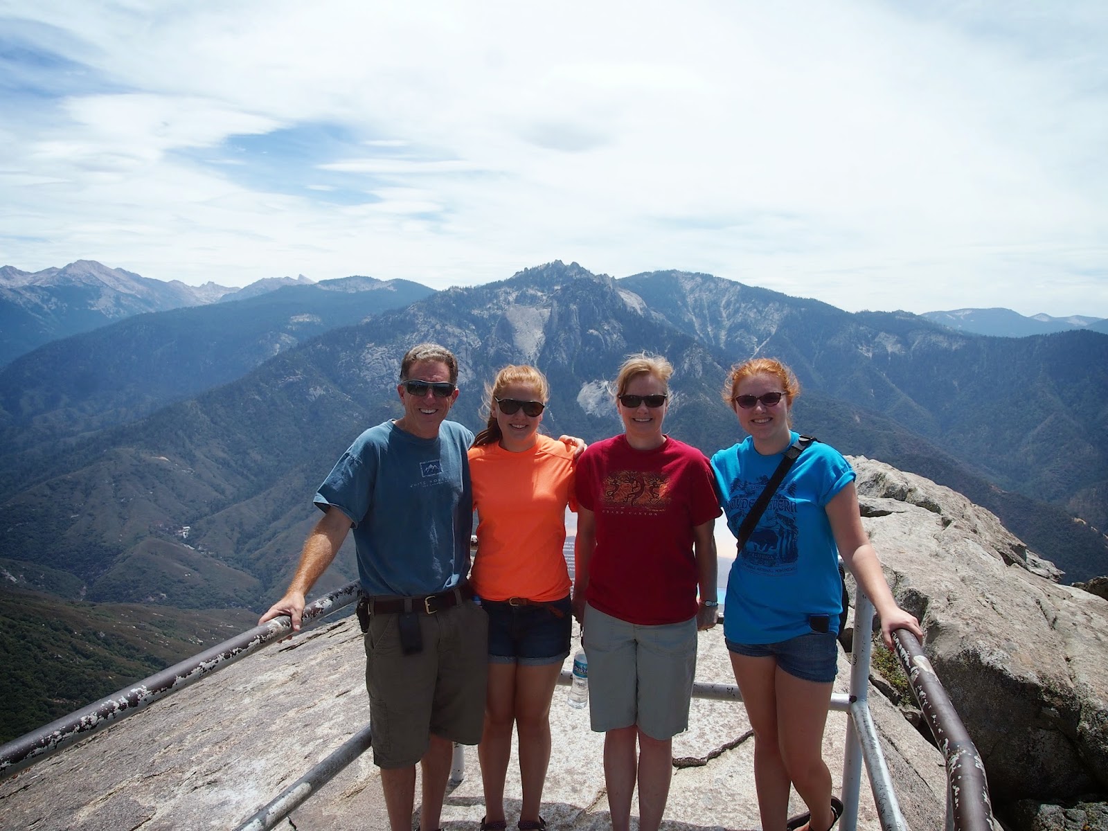
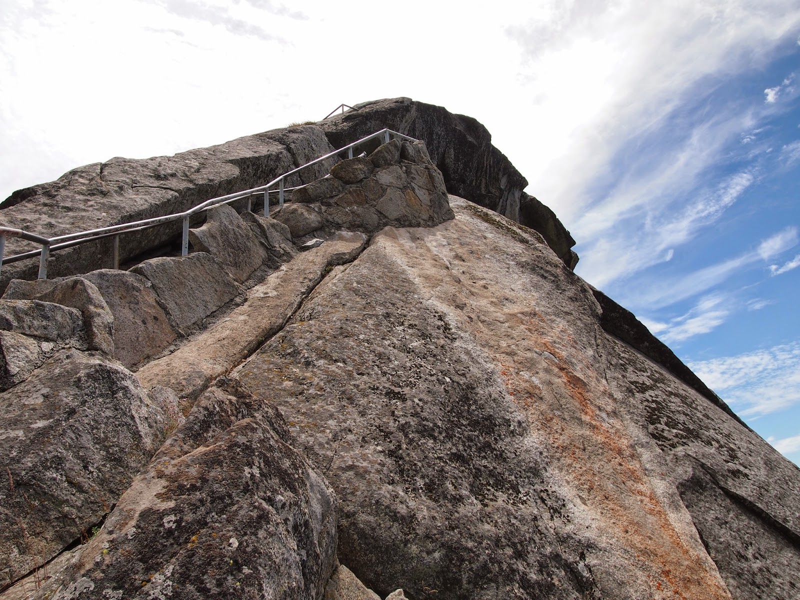
After walking to the lookout point on Olmstead point, with his binoculars, Dad saw people hiking to the neighboring granite structure across the street from where we parked. So naturally, he wanted to go do that! Once we got to the top, the view was amazing, and it felt like we were at the top of the world!
|
 |
| The granite on the mountain was at one point polished and smooth, but now, it's chipping off. |
 |
| There's Harvey! |
 |
| Family Selfie! Even Timber got in on it! |
Fire is a natural part of the ecosystem. Plants and animals have adapted to this natural occurrence in their ecosystems. Historically, the pioneers suppressed these fires, but that did more harm than good as it left dead wood and set the fire up for a much bigger and destructive fire. Today, the fires are left in the natural parks to allow them to play their role in maintaining a healthy ecosystem unless it poses imminent danger to the people and structures surrounding it. Sometimes, small controlled fires called prescribed burns are set to regulate the environment. The fire seen in this picture was caused by a lightning strike and was discovered on July 16. It is considered to be managed for many reasons, as it poses no threat to systems or infrastructures of the park.

Our second day in Yosemite we left the quieter Tioga Pass for the Yosemite Valley portion of the park. Here we parked in a lot, under a shady tree for Timber and headed off on the shuttle. The shuttle system was a bit confusing to figure out, as well as the map and signage were unclear on where we needed to go on our hike to see Yosemite Falls. We ended up going past the stop we wanted and had to go around the entire loop again. Combined with the fact that we over prepared for the short walk to the Falls, preparing rather for a long trek, you should have seen us on the shuttle we were quite the sight!
Finally we found the path to go see Yosemite Falls. Yosemite Falls is the tallest waterfall in the United States at 2,425 feet tall. It is the fifth tallest in the world, the tallest being Salto Angel in Venezuela at 3,212 feet tall. Yosemite Falls is further classified into Upper Fall (1,430 feet), Middle Cascades (675 feet), and Lower Falls (320 feet). The source of the Falls is the Yosemite Creek, which is fed entirely by snowmelt. In the spring, 2,400 gallons per second flow over Upper Falls, but in the summer once all the snow melts, it slows drastically.

After viewing the Falls and not wanting to ride the shuttle again and prompted by Mom who had seen that it was a short fifteen minute walk on the Valley Loop trail which connected Yosemite Falls to the Visitor's Center. However, after walking down the trail for a while, and eating gorp on a rock, we realized we either took a wrong turn or the trail didn't actually connect up with the Visitor's Center. Either way, we were hopelessly lost. We then turned around and cut down a path leading to the pasture area for the donkeys. We were laughing, because through our whole adventure, the only thing we saw on the signs was Yosemite Falls or in some cases just Yosemite Fall, like the sign maker could only spell one thing.
 |
| We could see Upper Falls from our spot outside the Donkey pen. |
Continuing on from the Donkey Pen, we walked through a residential area and eventually found the Visitor's center. By that time, we had done enough adventuring and wanted to go back to Timber and move on from Yosemite.
 |
| Just four lost people by the Lost Arrow Road sign. |
 |
| El Capitan Rock |
 |
| The Three Brothers |
 |
| From Tunnel View Point |
 |
| The Tunnel |
After this point, Dad drove down Route 41, which is full of turns and switchbacks, and was also very narrow. Mom had to go lay down and even Karen and Dad who were in the front felt green. Poor Timber wasn't fond of it either. I slept through all the excitement.
We stopped by a dried fruit and nut store, as well as an ice cream place for some fresh air and of course, some ice cream. Timber, our fearless leader, introduced us to a couple and their daughter Ada. We started talking and Bill recommended places to go in Kings Canyon, our next stop. Side Note: Happy Second Birthday to Ada! (Second Side Note: I originally compiled this post on Friday, but due to technical difficulties never posted, so Happy Belated Birthday Ada!)
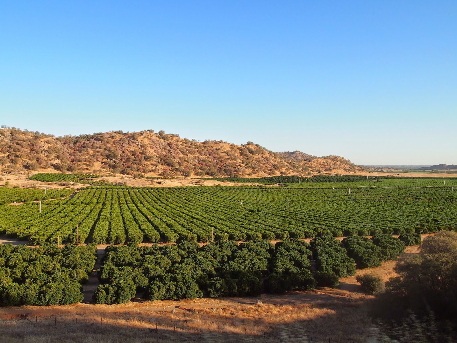
On our way towards Kings Canyon, we drove through fruit groves and vineyards. This happens to be an orange grove.
 |
| We stopped at this fruit stand as well! I, being a lemon connoisseur, bought a lemon, but have yet to eat it, but when I do, I'll let you know how it was. The other fruit we bought and have eaten was very good. |
Karen wants me to make sure you know that she has started to post on her blog as well. Go check it out!
Where's Harvey the RV?
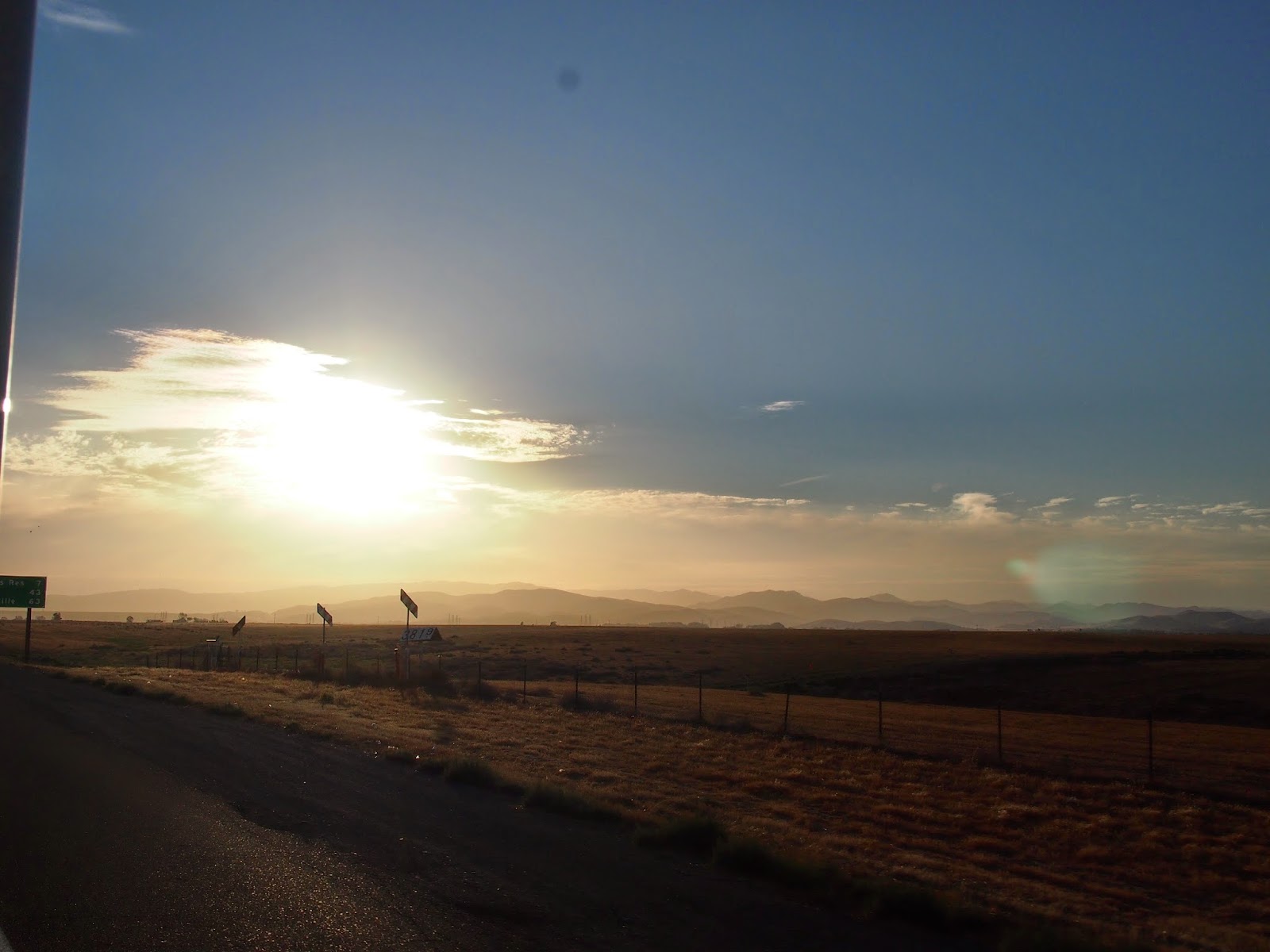
We are out of the canyons for a bit, so I will have service to update on our latest adventures!
Ciao,