Welcome!

This summer I am taking on the country with Harvey (My family's rv), my family, and dog Timber. And of course, my camera (an Olympus Pen-Ep3) and many, many, many books. Join us on this adventure through my pictures and writings.


Showing posts with label driving. Show all posts

Friday, July 13, 2012

Are We There Yet? (West Yellowstone, Montana Post)

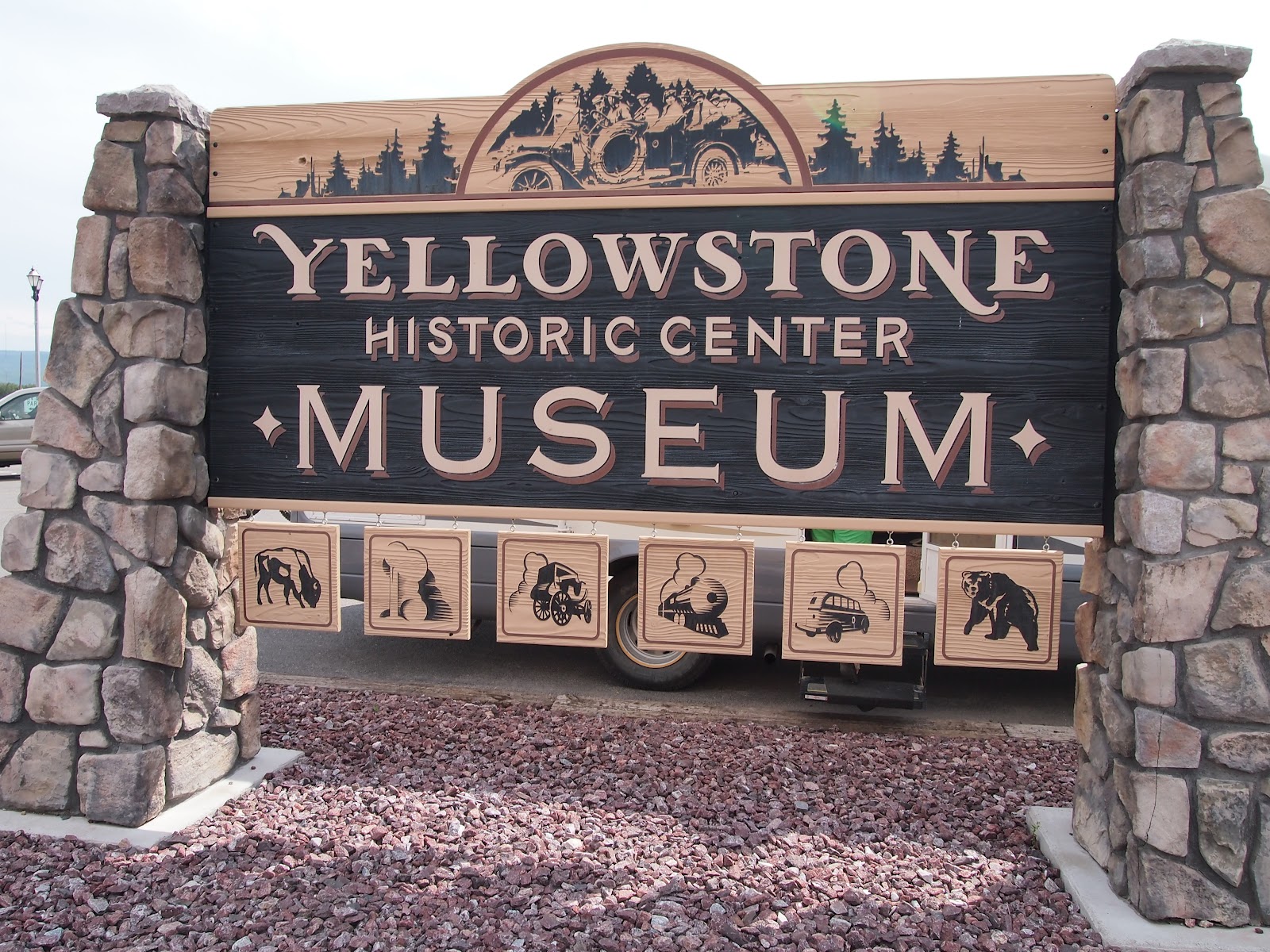
Today wasn't the most interesting day.  We did a bit of driving this morning, and explored the town of West Yellowstone.   Well, I guess the morning was boring to be more precise.  The afternoon was really fun, as we stopped in the Yellowstone Historic Center Museum.  Plenty of Yellowstone history to regale you with!   

These next pictures I took after I finished posting last night.  


Today, we stopped to let Timber run in a large, grassy turnout along a river.  


Dad's favorite mutant dandelion. (It's really big)


What is this?


All Timber knows how to do is leap...


And smile!


Timber is as happy as can be!


This may not be the official sign for the entrance to the park, but it was the first.   


Yay! 


Dad, you better watch out or Old Snaggletooth is going to attack you!


Old Snaggletooth was a bear at Yellowstone, characterized by his right canine tooth which was crooked, and hung out of his mouth.  This was back when people fed the bears.  Snaggletooth was shot by poachers who were later apprehended, but the shots proved fatal.  Snaggletooth currently resides in the Yellowstone Historical Museum where he greets visitors and shares his story.

Another interesting thing I learned about was the August 17, 1959 earthquake in Yellowstone.  This earthquake was originally recorded as a 7.3 magnitude earthquake, but new evidence shows it was actually more like a 7.5-7.6 magnitude.  Either way, it is the largest earthquake recorded for this region of the Rocky Mountains.  It has also been called the Hebgen Lake disaster.  It created Quake Lake, and tested the strength of the Hebgen dam.  A large landslide created the lake and buried 19 people in less than a minute.  A total of 28 casualties was recorded, most from the landslide.  Apparently, these earthquakes keep the geysers of Yellowstone functioning properly by releasing pressure.  This area is earthquake prone due to its location on an active hotspot.  

Tomorrow, we will enter Yellowstone, so look for the history of our nation's first national park, and pictures.   


Thursday, July 12, 2012

Home on the (Bison) Range (Missoula, Montana Post)

As we were driving through, we stopped at the National Bison Range.  We were advised to visit by a couple on the shuttle in Glacier National Park.  This settled the Bison/Buffalo debate between Karen and me.  (I was right, despite what she says.) We have bison in this country, where as a buffalo refers to the Cape Buffalo of Africa, or the Water Buffalo from Asia.  However, the terms "bison" and "buffalo" have been used interchangeably in the United States to refer to the bison.  It can also be noted that the only other bison exists in small numbers in European reserves and is called the wisent.  


The newest exhibit at the bison range, a pet on a leash.  Strange... it looks a bit like Timber...

The rusty brown colored bison in the center is a calf.  Bison calves are a rusty brown for the first two months.  


The bison calves and the mothers (cows)


Other creatures inhabit the bison range such as birds, deer, and Timber's personal favorite, the Pronghorn Antelope.  


The valley was the former home of a giant glacial lake, and quite a bit of the bison range would have been underwater.


The view from the highest point of the bison range.  


Dad is "King of the Bison Range".


Timber spies, with her little doggie eyes: a bison!

A fawn in the flowers...


...The mother is nearby, watching...


We are spending the rest of the day driving, and have just stopped to let Timber stretch her legs.

Monday, July 9, 2012

Petrified Forest (End of Theodore Roosevelt National Park and Lewistown, Montana Post)

Today, we hiked to the Petrified Forest as we planned. The Petrified Forest in Theodore Roosevelt National Park is the third largest in the country.  Petrified wood is created when dissolved minerals seep into wood, and over a span of millions of years, crystalize.  The petrified wood in this park once thrived in an area similar to the Florida Everglades.  Swampy, and home to prehistoric alligators and crocodiles.  This has been deciphered through geologic evidence in the rocks.   In this petrified forest, some pieces of wood are up to ten feet.  This section of the park was really remote and pretty, as there were no roads leading directly to the wood and that you had to hike in.  


Mom and Dad by some lovely petrified wood.


Macro of the petrified wood. 


This is the view from one end of the Petrified Forest.  Although they may appear small, the petrified wood was actually quite large and plentiful.  


One of the largest pieces within the forest.  


Dad hugging his large piece of petrified wood.  


Can you spot the dog?  (Not real, within the wood.)


Do you like Dad's new sombrero?  The color suits him, don't you think?


After, we saw some oil equipment, and I told my family the method used was frakking, or hydraulic fracturing.  However, they didn't believe me, but I was ultimately right! :)

We drove all the way through the rest of North Dakota, and into Montana.  That meant my book and more of my favorite candy! (Tootsie pops! :D ) Tomorrow, we will probably reach Glacier National Park, one of the parts of the trip I am looking most forward to!  I can really understand why Montana is called the "Big sky country."  The sky is so big and blue and looks as if is stretches on forever, you can see so far.  

Amy


Friday, July 6, 2012

Devils Tower (Devils Tower, Wyoming Post)


Today we visited Devils Tower National Monument.  It is really cool, as it is like a giant rock tower in the middle of nowhere.  

Passed down by Native Americans, here is one story of the creation of Devils Tower.  "One day, an Indian tribe was camped beside the river and seven small girls were playing at a distance.  The region had a large bear population and a bear began to chase the girls.  They ran back toward their village, but the bear was about to catch them.  The girls jumped on a rock and began to pray to the rock, "Rock, take pity on us; Rock, save us."The rock heard the pleas of the girls and began to elongate itself upwards, pushing them higher and higher out of reach of the bear.  The bear clawed and jumped at the sides of the rock, and broke its claws and fell to he ground.  The bear continued to jump at the rock until the girls were pushed up into the sky, where they are to this day in a group of seven little stars (the Pleiades).  The marks of the bear claws are still there yet."  

If you want the scientific explanation for the tower,  it is the core of a volcano that has been exposed by millions of years of erosion from the Belle Fourche River and weather.   About 50 million years ago, molten magma was forced into sedimentary rocks above and cooled underneath.  The sedimentary rock eroded leaving Devils Tower standing 1,267 feet above the river that formed it and 5,112 feet above sea level.  The area of the top is 1.5 acres, and the diameter of the base is 1,000 feet. 


Devils Tower stands 865 feet high from its base.  


Although you cannot quite see them in this picture, there are several people climbing up the side of Devils Tower.  


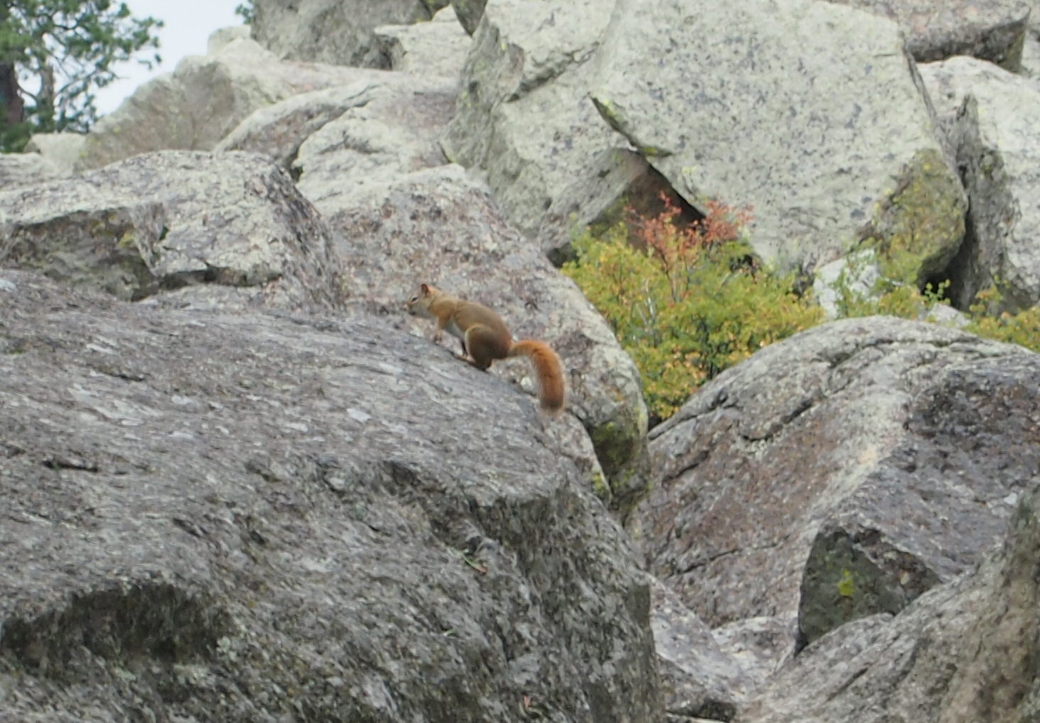
SQUIRREL! :)


A macro of the bark on a tree.  


The red rock eroded away by the Belle Fourche River at the base of Devils Tower.  


A prairie dog at play. 
We are currently on our way to Theodore Roosevelt National Park in North Dakota.  Earlier we stopped to let Timber run and she chased and was chased by a Pronghorn Antelope.  Later, Karen's blog Where's Harvey the RV will have a video of this chase.

Thursday, July 5, 2012

From the 1880s, to the Timeless Badlands, to the Wall Drug Store (Hot Springs, South Dakota Post)


This morning, after my earlier post, we found ourselves stepping back in time with the 1880s town.  I had a lot of fun in this town using what I knew to imagine what life would be in the town.  Eventually, my family began leaving me in different buildings, because I was spewing off facts from my Social Studies book.  This town was really interesting, because it was home to so many different antiques.   I also found it interesting to learn that the movie Dances With Wolves was filmed there, and that it was featured on an episode of the History Channel show American Pickers.  


Then, we entered the Badlands.  The Badlands were named by French trappers who realized that the land was bad to cross.   A Native American group also named it something meaning "land bad" in their language.  


Here is a collection of pictures from the Badlands.


A macro of the surface of the rock.  


The different colors signify different ages of rock and contain different fossils, as during that time period, the land supported different ecosystems.  


Baby goats on the side of the road! :)
After the Badlands, we stopped at the Wall Drug Store for our free ice water and some shopping.  It was giant inside, filled with many rooms holding different portions.  This isn't even the entire length of the store.  The store began giving out free ice water as a gimmick to draw in customers as the store wasn't doing well. The store's owner noticed many cars driving by, but no one stopping.  On a hot July day, she realized that they were probably thirsty and began offering free ice water.  The store still follows this tradition.