Sorry yet again for the lack of posts over the past few days. No, I haven't been slacking off, I just haven't had much phone service, so the air card hasn't worked.
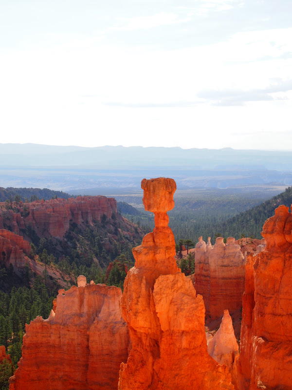
Anyway, we woke up and before the heat, and began our hike. We walked down into the canyon on a trail laden with switchbacks. As we were descending, we saw these hoodoos.
 |
| Close to the bottom of the canyon, by looking up hikers would see this towering over them. We wondered how it was staying up, as it looked like it would fall on our heads. |
 |
| Natural Bridge of Bryce Canyon. |
 |
| The hoodoos during our ascent. |
We left Bryce Canyon and worked our way to the North Rim of the Grand Canyon. That wasn't before a stop to the Jacob Lake Inn to sample their famous Cookies!
 |
| And they were delicious! This one is a Lemon Raspberry, and my favorite out of the cookies I got. |
 |
| On the lookout for the Kaibab Squirrel! |
The Kaibab Squirrel (
Sciurus aberti kaibabensis) is the most distinct member of the tassel eared squirrels. They are also an excellent example of evolution due to geographical isolation. They only live in the Kaibab Plateau in the Ponderosa Pine forests surrounding the North Rim of the Grand Canyon. These squirrels are easily recognized by their tufted ears, dark gray bodies with a black belly and russet stripe down its back, and white tails. The tufts on their ears grow as they age. (My dad wanted to see a really old Kaibab squirrel.) The Kaibab Squirrel doesn't hibernate, so their unique coloring helps them camouflage with all the seasons.
The Kaibab Squirrel's closest relative would be the Abert's Squirrel, which lives in the South Rim of the Grand Canyon, along with other Ponderosa Pine forests in the Rocky Mountains from the United States to Mexico. At the time of the last ice-age, many Abert's Squirrels dispersed throughout the Grand Canyon area. As the climate rose, the Ponderosa Pines, and the squirrels that depended on them moved to the higher Kaibab Plateau. These became the descendants of the modern Kaibab Squirrel, and as the climate cooled, the Abert's Squirrels moved back to their niches in the South Rim area.
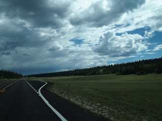 |
| Miles and Miles of Meadow! |
 |
| The Grand Canyon was created due to erosion by the Colorado River, and the 5 exposed rock layers tell geologists something about many different time periods. It has supported human life for 10,000 years, with evidence from Paleo-hunters, to ancestral Puebloans or Anasazi. |
 |
| Although the North and South Rims of the Grand Canyon are 10 miles apart as the crow flies or 215 miles by road, however, the North Rim averages about 1,000 feet higher and 10 degrees cooler than the South Rim. However, more tourists visit the South Rim. Some people consider the North Rim prettier than the South Rim. |
 |
| In recreation of a picture Dad took on his trip out west 31 years , where he dangled his feet 2,000 feet down into Dead Horse Point. (They added a fence, so he couldn't recreate it there.) He has gotten more cautious at 50, because he only dangled them onto the lower edge. |
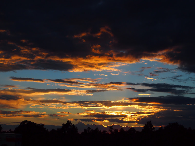
We stopped at Cape Royal Point, and we reached it just before sunset. The lighting and haze cast beautiful views across the canyon.
Again, Uncle Chris, don't worry, I didn't look at the sun directly!
After we reached the RV, Dad and I walked Timber down to a picnic area and an area called the Wedding Point. It was the perfect place to watch the sunset.
We decided we wanted to get Mom and Karen, and on our way back to get them, Mom pointed this out to me.
We went back to our spot at the Wedding Point, as it was the best place to watch the sunset.
 |
| Timber looks happy! |